Before Madras Day
Two series, two systems, one finished portrait, and the units problem
This did not start with Madras, and it did not start as a film or a world. In August 2026 I set out to make portraits of Indian places that carry their real nuance, because an Indian city is never one thing. The framing I wrote down first was a refusal: not a set of landmark postcards, not a Western vintage tourism poster with Indian objects swapped in, no tourist gaze, no colonial nostalgia.
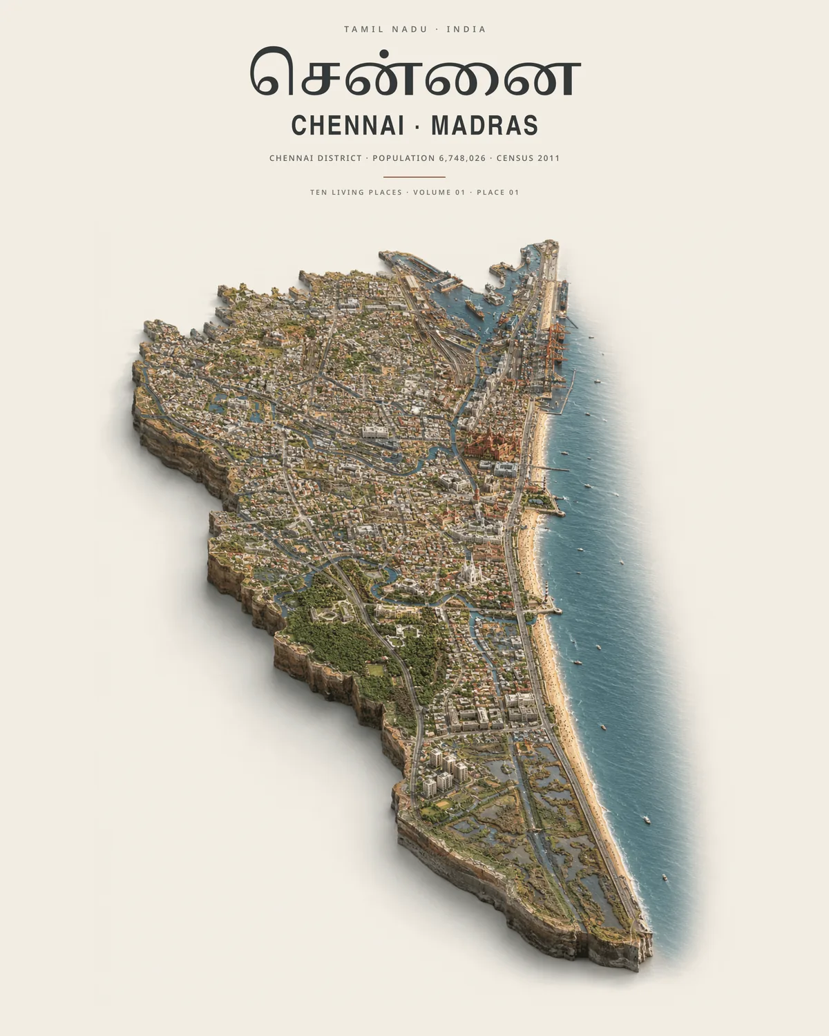
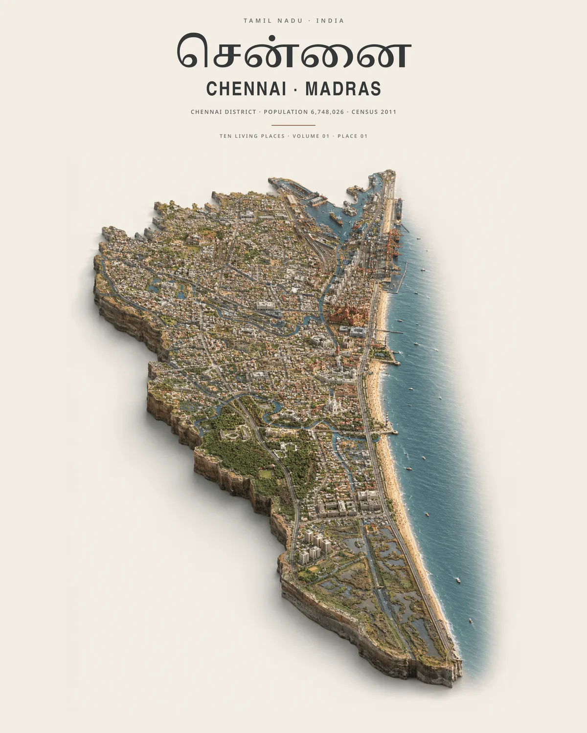
Two series came out of that, each with a written system before any image. Tamil Nadu: Ten Living Places is a collectible series of place portraits in a language I called contemporary Tamil paper theatre: layered cut-paper illustration, archival editorial composition, hand-printed colour, cinematic human observation. Every portrait has to be anchored in a place, a process, an ecology, public life or a material, and a landmark may dominate only when it is the most truthful carrier of the city's identity. India: Isometric Living Geographies is the other series, a geographically shaped land slab floating on warm off-white, with a rule that the slab may claim an exact silhouette only when it sits on a prepared reference plate with the real boundary, coast, rivers, elevation and landmark pins.
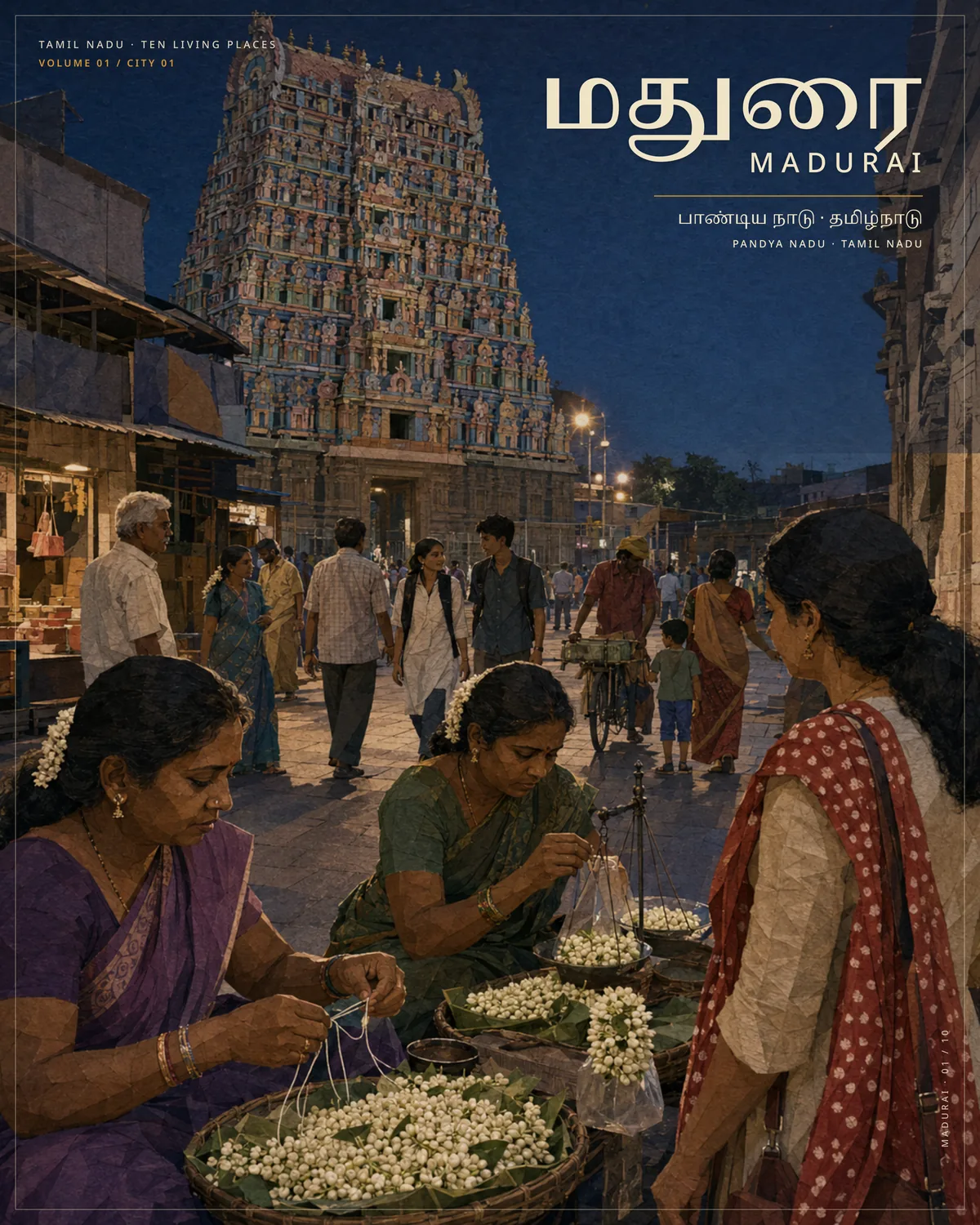
Volume 01, City 01 was Madurai, because I thought its culture would be the hardest to get out honestly. The research dossier of 20 August resolved the names (Madurai, மதுரை, Pandya Nadu as a cultural layer and not an administrative one), fixed the scope to the city proper, and chose an ordinary early evening at the eastern temple-street threshold with the jasmine sellers in front. It reached a print PDF. It is the one portrait that got finished.
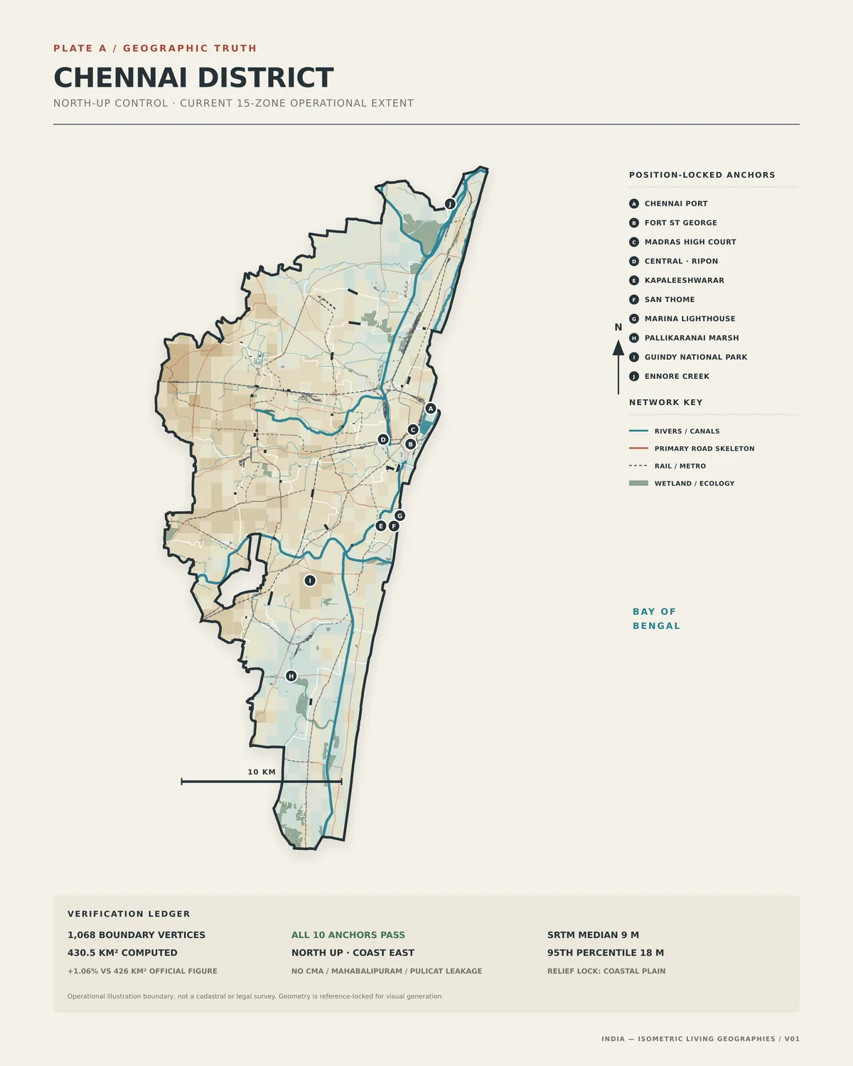
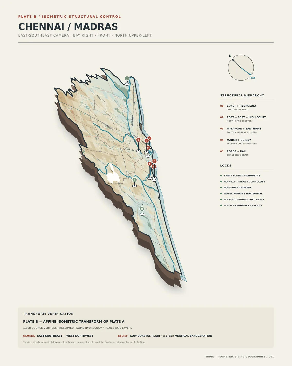
Chennai was Place 02 of the isometric series, and it surfaced the problem that has shaped everything since. "Chennai" is at least four geographies: the old 176 square kilometre city, the present 426 square kilometre district, the Corporation, and a 5,904 square kilometre metropolitan area. Mixing them makes a false silhouette. So the blueprint locked the slab to the present district, built Plate A from the dissolved zones and checked it against the official area within one percent, transformed it into Plate B, and only then compiled a generation prompt, dated 21 August, that would run only after an explicit go. Madras was allowed on that poster as a quiet historical alias, never as an equal title.
Chennai got as far as the plates and a first slab. Then Madras Day came, and instead of publishing for the day I wanted to extend the project: map things, go with evidence, go with what the government and the Corporation actually say. That is the next leaf. Everything in this one is image generation with a plate underneath it, and it is where the habit of putting the geometry down first began.
- ignore-extras/MD: Tamil Nadu, Ten Living Places, visual system v1; India, Isometric Living Geographies, visual system v1; the Madurai and Chennai research dossiers and blueprints; the Chennai final generation prompt v1
- ignore-extras/SVG and PDF: the editable plates and the Madurai print PDF